

Blonville-sur-Mer · Normandy · France
La Roselière des Dunes
Coastal marshland and garden cuisine
La Roselière des Dunes is a fictional dining concept inspired by Blonville-sur-Mer, in Calvados. It does not describe an operating restaurant.
Coastal marshland and garden cuisine
Imagined features
- Dune terrace
- Vegetable menu
- Marshland infusions
Read what the menu actually describes
This record describes 4 stages; the menu label announces 5 courses.
Unlisted stages, portions, drinks, supplements and meal duration are not documented. The displayed price is fictional and is not a complete quotation.
Can a dish name establish ingredients or suitability?
No. The descriptions are an imagined sequence, not complete recipes or allergen information. No dietary adaptation, accessibility provision or operational service is confirmed by this fictional record.
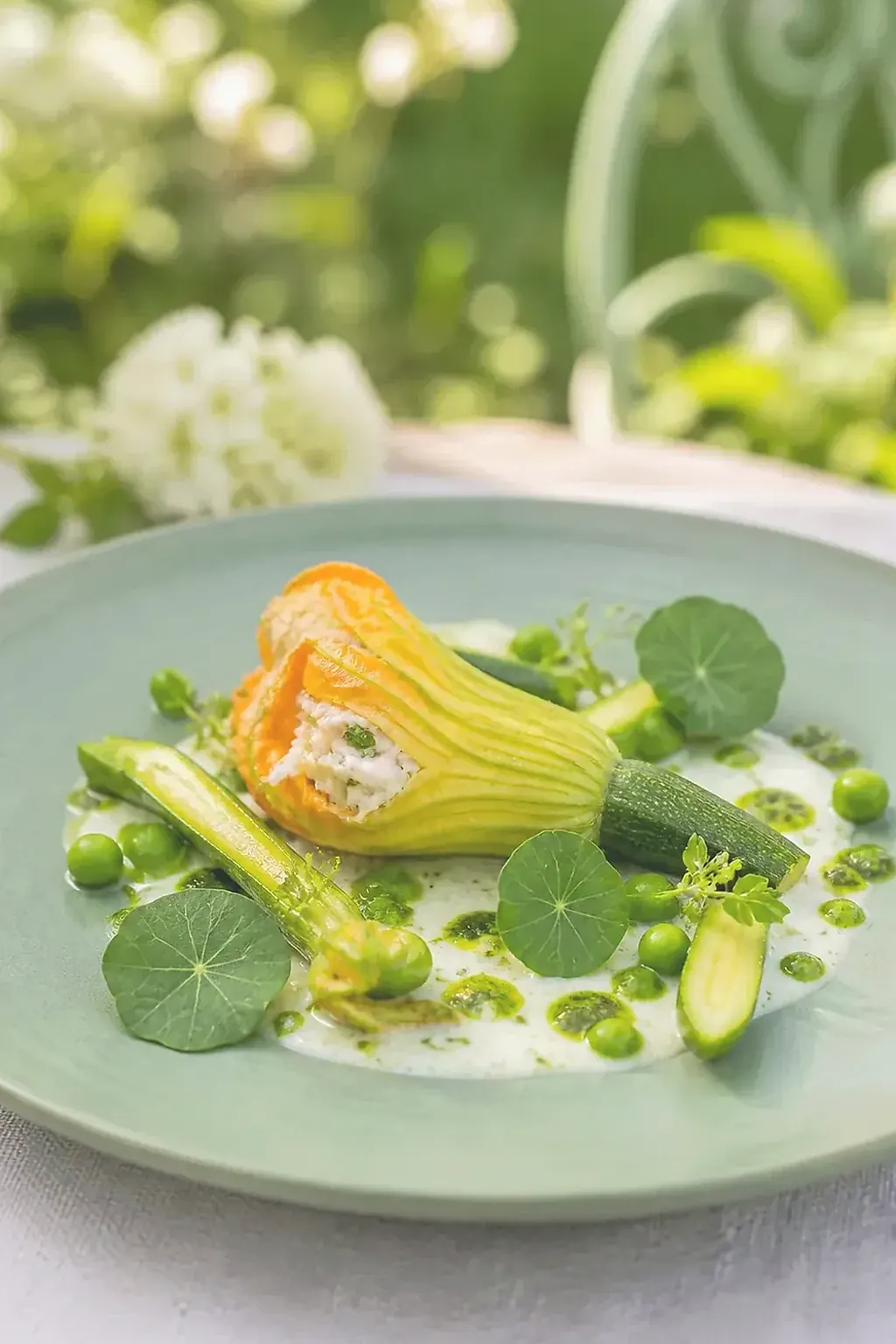
Another way to explore
Same ingredients, different menus
These connections use at least two ingredients explicitly named in the menus. They compare the published wording, without rating quality, portions or nutritional balance.
| House and town | Shared ingredients | Published main course | Published dessert |
|---|---|---|---|
| Le Moulin des Herbes Fines Louviers | dill · peach · courgette · cucumber · trout | char, courgette, sorrel | peach, lemon balm, almond |
| La Maison des Roseaux Salés Carentan-les-Marais | dill · cucumber · cultured buttermilk | sea bass, leek, sorrel | rhubarb, elder, cultured buttermilk |
| Le Comptoir des Ancres Douces Dives-sur-Mer | dill · cucumber · trout | red mullet, aubergine, sweet pepper | apple, caramel, buckwheat |
The real municipality
Blonville-sur-Mer
This point locates the geographical centre supplied by the administrative API, not a restaurant address. It helps distinguish nearby places or places with similar names and locate the story within its department.
- Municipality centre · latitude, longitude
- 49.32290, 0.03160
- Municipality postal codes
- 14910
- INSEE code
- 14079
Official municipality recordLocate the municipality on OpenStreetMap →
Administrative data consulted on · Licence Ouverte 2.0